
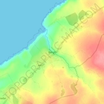
Borve topographic map
Interactive map
Click on the map to display elevation.
About this map
Name: Borve topographic map, elevation, terrain.
Location: Borve, Western Isles, Scotland, HS2 0RX, United Kingdom (58.39771 -6.45643 58.43771 -6.41643)
Average elevation: 32 m
Minimum elevation: 0 m
Maximum elevation: 75 m
Scotland trails, hiking, mountain biking, running and outdoor activities