
estero topographic map
Interactive map
Click on the map to display elevation.
About this map
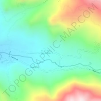
Name: estero topographic map, elevation, terrain.
Location: estero, San José del Tambo, Chillanes, Bolívar, Ecuador (-1.95470 -79.22195 -1.95320 -79.21730)
Average elevation: 347 m
Minimum elevation: 155 m
Maximum elevation: 701 m
Other topographic maps
Click on a map to view its topography, its elevation and its terrain.
Changuil
Ecuador > Bolívar > Régulo de Mora
Changuil, Régulo de Mora, San Miguel, Bolívar, Ecuador
Average elevation: 1,056 m