
Тосор topographic map
Interactive map
Click on the map to display elevation.
About this map
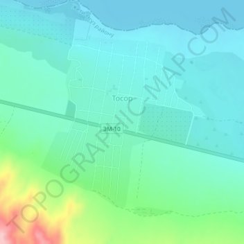
Name: Тосор topographic map, elevation, terrain.
Location: Тосор, Issyk-Kul Region, 722422, Kyrgyzstan (42.15576 77.43295 42.17466 77.45426)
Average elevation: 1,638 m
Minimum elevation: 1,601 m
Maximum elevation: 1,776 m