
Knivsland topographic map
Interactive map
Click on the map to display elevation.
About this map
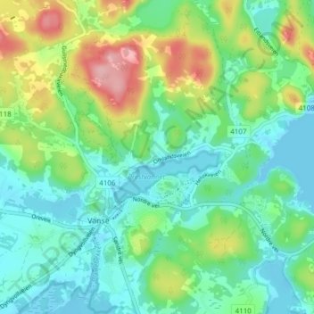
Name: Knivsland topographic map, elevation, terrain.
Location: Knivsland, Vanse, Farsund, Agder, 4560, Norway (58.08623 6.68543 58.12623 6.72543)
Average elevation: 41 m
Minimum elevation: -1 m
Maximum elevation: 138 m