
Molina topographic map
Interactive map
Click on the map to display elevation.
About this map
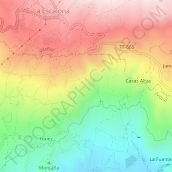
Name: Molina topographic map, elevation, terrain.
Average elevation: 763 m
Minimum elevation: 426 m
Maximum elevation: 1,111 m
Other topographic maps
Click on a map to view its topography, its elevation and its terrain.
Cabo Blanco
Spain > Canary Islands > Arona
Cabo Blanco, Arona, Santa Cruz de Tenerife, Canary Islands, 38652, Spain
Average elevation: 341 m