
Kuh-e Do Rahi topographic map
Interactive map
Click on the map to display elevation.
About this map
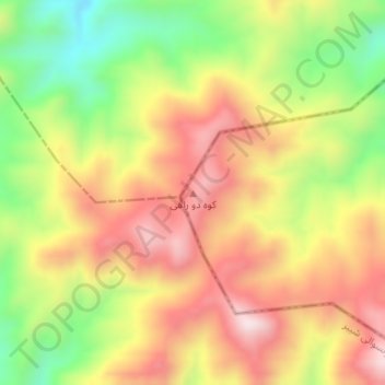
Name: Kuh-e Do Rahi topographic map, elevation, terrain.
Location: Kuh-e Do Rahi, Tala wa Barfak, Baghlan, Afghanistan (35.22193 68.03374 35.22203 68.03384)
Average elevation: 2,405 m
Minimum elevation: 2,145 m
Maximum elevation: 2,633 m
Other topographic maps
Click on a map to view its topography, its elevation and its terrain.
Dahani Eskar - Sare Sang
Afghanistan > Baghlan > Dahani Eskar - Sare Sang
Dahani Eskar - Sare Sang, Dushi, Baghlan, Afghanistan
Average elevation: 1,061 m