
Oley Township topographic map
Interactive map
Click on the map to display elevation.
About this map
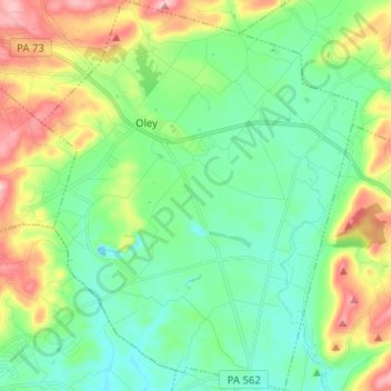
Name: Oley Township topographic map, elevation, terrain.
Location: Oley Township, Berks County, Pennsylvania, United States (40.32119 -75.82368 40.41785 -75.72111)
Average elevation: 140 m
Minimum elevation: 67 m
Maximum elevation: 306 m