
Thetford topographic map
Interactive map
Click on the map to display elevation.
About this map
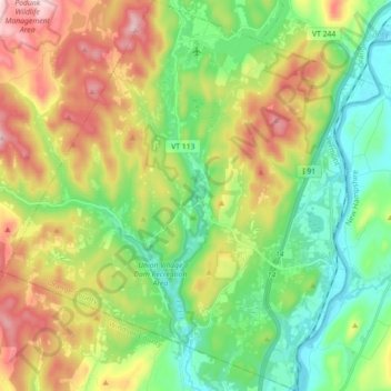
Name: Thetford topographic map, elevation, terrain.
Location: Thetford, Orange County, Vermont, United States (43.77132 -72.33934 43.89982 -72.16817)
Average elevation: 281 m
Minimum elevation: 110 m
Maximum elevation: 570 m