
Cham Kurak topographic map
Interactive map
Click on the map to display elevation.
About this map
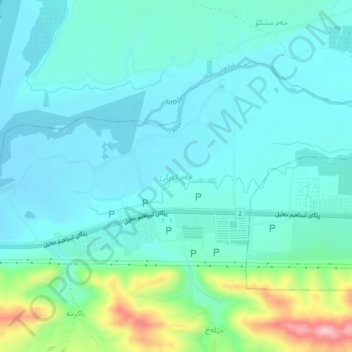
Name: Cham Kurak topographic map, elevation, terrain.
Location: Cham Kurak, Zakho District, Dohuk, Iraqi Kurdistan, 255, Iraq (37.12602 42.58802 37.16602 42.62802)
Average elevation: 439 m
Minimum elevation: 396 m
Maximum elevation: 616 m