
Hindu Kush topographic map
Interactive map
Click on the map to display elevation.
About this map
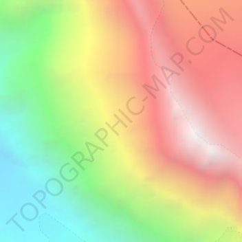
Name: Hindu Kush topographic map, elevation, terrain.
Average elevation: 5,281 m
Minimum elevation: 4,285 m
Maximum elevation: 6,252 m
Other topographic maps
Click on a map to view its topography, its elevation and its terrain.
Gree
Pakistan > Khyber Pakhtunkhwa > Chitrāl District > Chitral Tehsil
Gree, Chitral Tehsil, Lower Chitral District, Chitrāl District, Malakand Division, Khyber Pakhtunkhwa, Pakistan
Average elevation: 2,883 m