
Bakun Dam topographic map
Interactive map
Click on the map to display elevation.
About this map
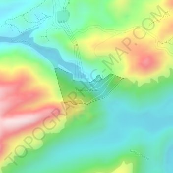
Name: Bakun Dam topographic map, elevation, terrain.
Location: Bakun Dam, Belaga, Kapit Division, Sarawak, Malaysia (2.75937 114.04990 2.76512 114.06073)
Average elevation: 195 m
Minimum elevation: 50 m
Maximum elevation: 436 m
Other topographic maps
Click on a map to view its topography, its elevation and its terrain.