
Pundi küla topographic map
Interactive map
Click on the map to display elevation.
About this map
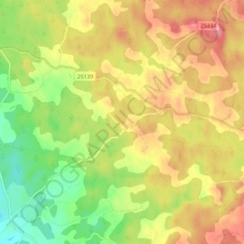
Name: Pundi küla topographic map, elevation, terrain.
Location: Pundi küla, Pundi, Rõuge vald, Võru maakond, Estonia (57.62288 27.01284 57.66288 27.05284)
Average elevation: 212 m
Minimum elevation: 163 m
Maximum elevation: 257 m