
Matson topographic map
Interactive map
Click on the map to display elevation.
About this map
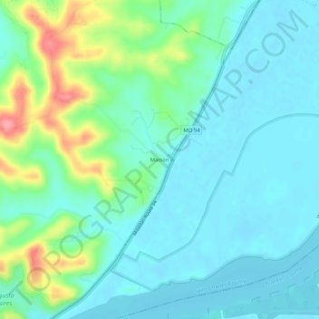
Name: Matson topographic map, elevation, terrain.
Location: Matson, Saint Charles County, Missouri, 66307, United States (38.58811 -90.81708 38.62811 -90.77708)
Average elevation: 162 m
Minimum elevation: 139 m
Maximum elevation: 237 m