
Park City topographic map
Interactive map
Click on the map to display elevation.
About this map
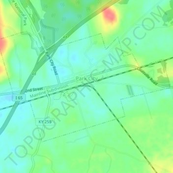
Name: Park City topographic map, elevation, terrain.
Location: Park City, Barren County, Kentucky, United States (37.08333 -86.06508 37.10182 -86.02893)
Average elevation: 201 m
Minimum elevation: 181 m
Maximum elevation: 244 m