
Coates topographic map
Interactive map
Click on the map to display elevation.
About this map
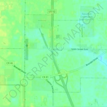
Name: Coates topographic map, elevation, terrain.
Location: Coates, Dakota County, Minnesota, United States (44.70629 -93.04499 44.72591 -93.01497)
Average elevation: 280 m
Minimum elevation: 272 m
Maximum elevation: 286 m
Other topographic maps
Click on a map to view its topography, its elevation and its terrain.
Burnsville
United States > Minnesota > Dakota County > Burnsville > Burnsville
Average elevation: 275 m
Farmington
United States > Minnesota > Dakota County > Farmington > Farmington
Average elevation: 280 m