
Scottsville topographic map
Interactive map
Click on the map to display elevation.
About this map
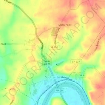
Name: Scottsville topographic map, elevation, terrain.
Location: Scottsville, Albemarle County, Virginia, United States (37.79096 -78.50527 37.82041 -78.47639)
Average elevation: 115 m
Minimum elevation: 78 m
Maximum elevation: 144 m