
Turopolje topographic map
Interactive map
Click on the map to display elevation.
About this map
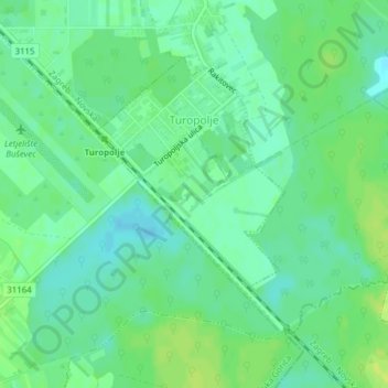
Name: Turopolje topographic map, elevation, terrain.
Location: Turopolje, City of Velika Gorica, Zagreb County, Croatia (45.63430 16.13021 45.65351 16.14967)
Average elevation: 104 m
Minimum elevation: 96 m
Maximum elevation: 111 m