
Denham topographic map
Interactive map
Click on the map to display elevation.
About this map
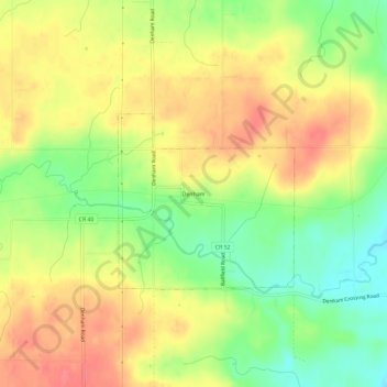
Name: Denham topographic map, elevation, terrain.
Location: Denham, Pine County, Minnesota, United States of America (46.34383 -92.96298 46.38383 -92.92298)
Average elevation: 375 m
Minimum elevation: 341 m
Maximum elevation: 402 m