
Tidore topographic map
Interactive map
Click on the map to display elevation.
About this map
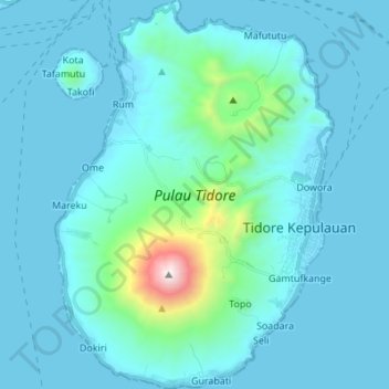
Name: Tidore topographic map, elevation, terrain.
Location: Tidore, Tidore Kepulauan, North Maluku, Indonesia (0.62186 127.36229 0.75855 127.46047)
Average elevation: 152 m
Minimum elevation: -1 m
Maximum elevation: 1,715 m