
Orland topographic map
Interactive map
Click on the map to display elevation.
About this map
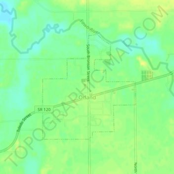
Name: Orland topographic map, elevation, terrain.
Location: Orland, Steuben County, Indiana, United States of America (41.72407 -85.18093 41.74030 -85.16160)
Average elevation: 291 m
Minimum elevation: 281 m
Maximum elevation: 299 m