
Dolge Njive topographic map
Interactive map
Click on the map to display elevation.
About this map
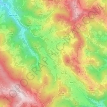
Name: Dolge Njive topographic map, elevation, terrain.
Location: Dolge Njive, Lučine, Gorenja vas-Poljane, 1345, Slovenia (46.03794 14.17605 46.07794 14.21605)
Average elevation: 711 m
Minimum elevation: 438 m
Maximum elevation: 956 m