
Derrybrusk topographic map
Interactive map
Click on the map to display elevation.
About this map
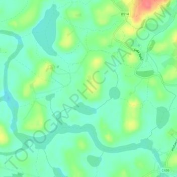
Name: Derrybrusk topographic map, elevation, terrain.
Average elevation: 53 m
Minimum elevation: 33 m
Maximum elevation: 96 m
Other topographic maps
Click on a map to view its topography, its elevation and its terrain.
Castle Coole
United Kingdom > Northern Ireland > Tamlaght
Castle Coole, Tamlaght, County Fermanagh, Northern Ireland, United Kingdom
Average elevation: 60 m