
Kiltān Island topographic map
Interactive map
Click on the map to display elevation.
About this map
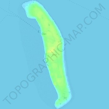
Name: Kiltān Island topographic map, elevation, terrain.
Location: Kiltān Island, Kiltan, Lakshadweep, India (11.46814 72.99733 11.49743 73.01112)
Average elevation: 2 m
Minimum elevation: -1 m
Maximum elevation: 17 m
Other topographic maps
Click on a map to view its topography, its elevation and its terrain.