
Yichang topographic map
Interactive map
Click on the map to display elevation.
About this map
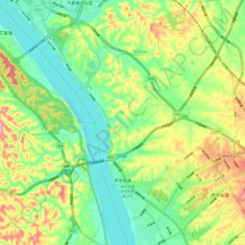
Name: Yichang topographic map, elevation, terrain.
Location: Huya Subdistrict, Xiaoting District, Yichang, Hubei, China (30.53441 111.37910 30.63710 111.47441)
Average elevation: 99 m
Minimum elevation: 22 m
Maximum elevation: 228 m
Other topographic maps
Click on a map to view its topography, its elevation and its terrain.