
Lawford topographic map
Interactive map
Click on the map to display elevation.
About this map
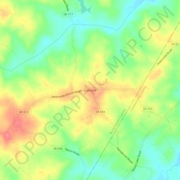
Name: Lawford topographic map, elevation, terrain.
Location: Lawford, Buckingham County, Virginia, United States (37.59654 -78.29694 37.63654 -78.25694)
Average elevation: 100 m
Minimum elevation: 67 m
Maximum elevation: 139 m