
North Lakes topographic map
Interactive map
Click on the map to display elevation.
About this map
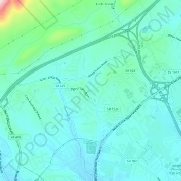
Name: North Lakes topographic map, elevation, terrain.
Location: North Lakes, Roanoke County, Virginia, 24017, United States (37.30736 -80.02810 37.34736 -79.98810)
Average elevation: 364 m
Minimum elevation: 310 m
Maximum elevation: 627 m