
Hinthada topographic map
Interactive map
Click on the map to display elevation.
About this map
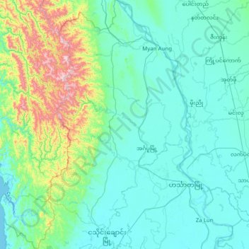
Name: Hinthada topographic map, elevation, terrain.
Location: Hinthada, Ayeyarwady, Myanmar (17.33605 94.77916 18.51085 95.73639)
Average elevation: 149 m
Minimum elevation: 0 m
Maximum elevation: 1,252 m
Other topographic maps
Click on a map to view its topography, its elevation and its terrain.