
Ban Wat Chan topographic map
Interactive map
Click on the map to display elevation.
About this map
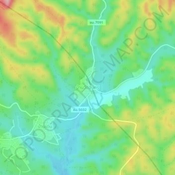
Name: Ban Wat Chan topographic map, elevation, terrain.
Location: Ban Wat Chan, Chiang Mai Province, Thailand (19.05428 98.28335 19.09428 98.32335)
Average elevation: 1,000 m
Minimum elevation: 941 m
Maximum elevation: 1,110 m