
Desa Tanjung Alam topographic map
Interactive map
Click on the map to display elevation.
About this map
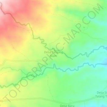
Name: Desa Tanjung Alam topographic map, elevation, terrain.
Location: Desa Tanjung Alam, Kecamatan Jangkat Timur, Jambi, Indonesia (-2.58111 101.91422 -2.54111 101.95422)
Average elevation: 1,148 m
Minimum elevation: 1,005 m
Maximum elevation: 1,343 m