
Eidet topographic map
Interactive map
Click on the map to display elevation.
About this map
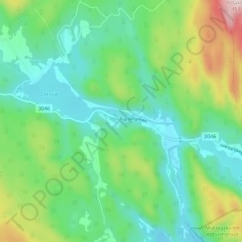
Name: Eidet topographic map, elevation, terrain.
Location: Eidet, Siljan, Telemark, Norway (59.21361 9.81516 59.25361 9.85516)
Average elevation: 136 m
Minimum elevation: 16 m
Maximum elevation: 442 m