
Sulby topographic map
Interactive map
Click on the map to display elevation.
About this map
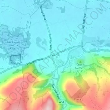
Name: Sulby topographic map, elevation, terrain.
Location: Sulby, Lezayre, Ayre, Isle of Man (54.29973 -4.50958 54.33973 -4.46958)
Average elevation: 73 m
Minimum elevation: 4 m
Maximum elevation: 301 m
Other topographic maps
Click on a map to view its topography, its elevation and its terrain.
Yellow Stone
Isle of Man > Ayre > Lezayre
Yellow Stone, Lezayre, Ayre, IM4 7NY, Isle of Man
Average elevation: 407 m