
Cane Savannah topographic map
Interactive map
Click on the map to display elevation.
About this map
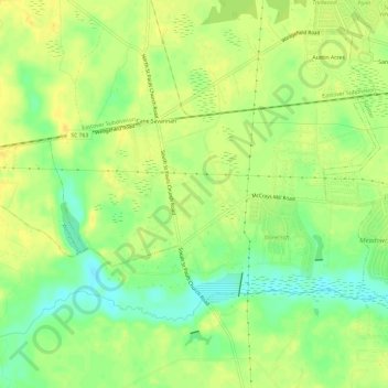
Name: Cane Savannah topographic map, elevation, terrain.
Average elevation: 52 m
Minimum elevation: 37 m
Maximum elevation: 61 m
Other topographic maps
Click on a map to view its topography, its elevation and its terrain.
Sumter
United States > South Carolina > Sumter County
Sumter, Sumter County, South Carolina, United States
Average elevation: 48 m