
Yingaro topographic map
Interactive map
Click on the map to display elevation.
About this map
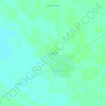
Name: Yingaro topographic map, elevation, terrain.
Location: Yingaro, Mandoul Oriental, Mandoul, Chad (8.16665 17.56901 8.20665 17.60901)
Average elevation: 392 m
Minimum elevation: 388 m
Maximum elevation: 394 m