
Awaji Island topographic map
Interactive map
Click on the map to display elevation.
About this map
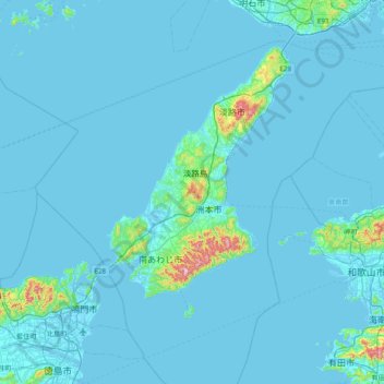
Name: Awaji Island topographic map, elevation, terrain.
Location: Awaji Island, Sumoto, Hyogo Prefecture, Japan (34.04538 134.50615 34.68538 135.14615)
Average elevation: 23 m
Minimum elevation: -4 m
Maximum elevation: 582 m