
Pacul topographic map
Interactive map
Click on the map to display elevation.
About this map
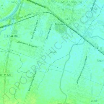
Name: Pacul topographic map, elevation, terrain.
Location: Pacul, Bojonegoro, East Java, 62118, Indonesia (-7.19644 111.86324 -7.15644 111.90324)
Average elevation: 19 m
Minimum elevation: 14 m
Maximum elevation: 25 m