
Sloan topographic map
Interactive map
Click on the map to display elevation.
About this map
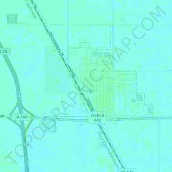
Name: Sloan topographic map, elevation, terrain.
Location: Sloan, Woodbury County, Iowa, United States of America (42.22410 -96.23806 42.24323 -96.21408)
Average elevation: 326 m
Minimum elevation: 324 m
Maximum elevation: 329 m