
Axtell topographic map
Interactive map
Click on the map to display elevation.
About this map
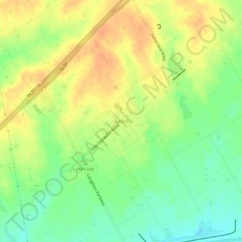
Name: Axtell topographic map, elevation, terrain.
Location: Axtell, McLennan County, Texas, 76624, United States (31.63796 -96.99036 31.67796 -96.95036)
Average elevation: 158 m
Minimum elevation: 138 m
Maximum elevation: 174 m