
Bowdon topographic map
Interactive map
Click on the map to display elevation.
About this map
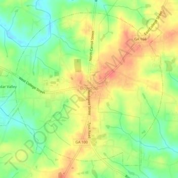
Name: Bowdon topographic map, elevation, terrain.
Location: Bowdon, Carroll County, Georgia, 30108, United States (33.52273 -85.27769 33.55256 -85.23603)
Average elevation: 319 m
Minimum elevation: 292 m
Maximum elevation: 343 m
Other topographic maps
Click on a map to view its topography, its elevation and its terrain.