
Aschenbeck topographic map
Interactive map
Click on the map to display elevation.
About this map
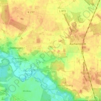
Name: Aschenbeck topographic map, elevation, terrain.
Location: Aschenbeck, Landkreis Oldenburg, Lower Saxony, 27801, Germany (52.91454 8.38448 52.95454 8.42448)
Average elevation: 36 m
Minimum elevation: 13 m
Maximum elevation: 51 m