
Brooks topographic map
Interactive map
Click on the map to display elevation.
About this map
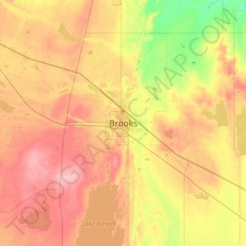
Name: Brooks topographic map, elevation, terrain.
Location: Brooks, Alberta, T1R 0E8, Canada (50.41103 -112.05301 50.73103 -111.73301)
Average elevation: 760 m
Minimum elevation: 712 m
Maximum elevation: 806 m