
Gemeinde Düns topographic map
Interactive map
Click on the map to display elevation.
About this map
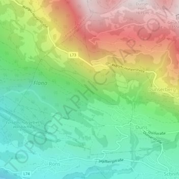
Name: Gemeinde Düns topographic map, elevation, terrain.
Location: Gemeinde Düns, Bezirk Feldkirch, Vorarlberg, Austria (47.21699 9.69135 47.23711 9.73178)
Average elevation: 924 m
Minimum elevation: 494 m
Maximum elevation: 1,592 m