
Lümatu küla topographic map
Interactive map
Click on the map to display elevation.
About this map
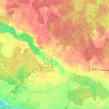
Name: Lümatu küla topographic map, elevation, terrain.
Location: Lümatu küla, Lümatu, Antsla vald, Võru maakond, Estonia (57.86326 26.59615 57.90326 26.63615)
Average elevation: 121 m
Minimum elevation: 77 m
Maximum elevation: 145 m