
Thornborough topographic map
Interactive map
Click on the map to display elevation.
About this map
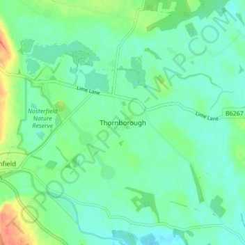
Name: Thornborough topographic map, elevation, terrain.
Average elevation: 43 m
Minimum elevation: 31 m
Maximum elevation: 73 m
Other topographic maps
Click on a map to view its topography, its elevation and its terrain.
Thornborough
United Kingdom > England > Thornborough
Thornborough, Buckinghamshire, South East, England, MK18 2DJ, United Kingdom
Average elevation: 96 m