
Achenkirch topographic map
Interactive map
Click on the map to display elevation.
About this map
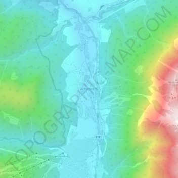
Name: Achenkirch topographic map, elevation, terrain.
Location: Achenkirch, Bezirk Schwaz, Tyrol, 6215, Austria (47.50762 11.68560 47.54762 11.72560)
Average elevation: 1,163 m
Minimum elevation: 887 m
Maximum elevation: 2,046 m