
Pomeroy topographic map
Interactive map
Click on the map to display elevation.
About this map
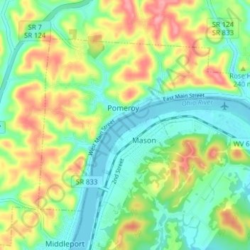
Name: Pomeroy topographic map, elevation, terrain.
Location: Pomeroy, Meigs County, Ohio, United States (39.00805 -82.05539 39.04139 -81.99316)
Average elevation: 208 m
Minimum elevation: 170 m
Maximum elevation: 272 m