
New Reading topographic map
Interactive map
Click on the map to display elevation.
About this map
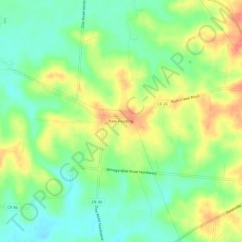
Name: New Reading topographic map, elevation, terrain.
Location: New Reading, Perry County, Ohio, 43076:43783, United States (39.78923 -82.36987 39.82923 -82.32987)
Average elevation: 310 m
Minimum elevation: 283 m
Maximum elevation: 344 m