
Naunton topographic map
Interactive map
Click on the map to display elevation.
About this map
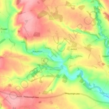
Name: Naunton topographic map, elevation, terrain.
Average elevation: 201 m
Minimum elevation: 135 m
Maximum elevation: 253 m
England trails, hiking, mountain biking, running and outdoor activities
Other topographic maps
Click on a map to view its topography, its elevation and its terrain.
Bourton-on-the-Water
United Kingdom > England > Cotswold > Bourton-on-the-Water
Average elevation: 173 m
Little Barrington
United Kingdom > England > Cotswold > Great Barrington > Little Barrington
Average elevation: 144 m