
Tando Muhammad Khan topographic map
Interactive map
Click on the map to display elevation.
About this map
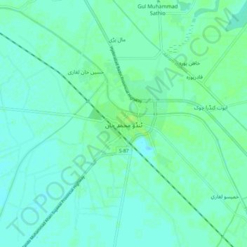
Name: Tando Muhammad Khan topographic map, elevation, terrain.
Location: Tando Muhammad Khan, , Sindh, 70220, Pakistan (25.08357 68.49352 25.16357 68.57352)
Average elevation: 17 m
Minimum elevation: 13 m
Maximum elevation: 22 m