
Sandvoll topographic map
Interactive map
Click on the map to display elevation.
About this map
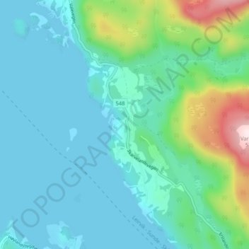
Name: Sandvoll topographic map, elevation, terrain.
Location: Sandvoll, Kvinnherad, Vestland, 5452, Norway (59.78778 5.79508 59.82778 5.83508)
Average elevation: 97 m
Minimum elevation: -1 m
Maximum elevation: 519 m