
Ovrlje topographic map
Interactive map
Click on the map to display elevation.
About this map
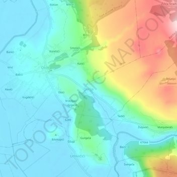
Name: Ovrlje topographic map, elevation, terrain.
Location: Ovrlje, Općina Otok, Split-Dalmatia County, 21238, Croatia (43.66251 16.72705 43.70251 16.76705)
Average elevation: 372 m
Minimum elevation: 291 m
Maximum elevation: 581 m